 Running through the heart of Dallas at 30 feet high and over 24 miles in length, the Trinity River levees in Dallas have a combined 40 miles of dirt access roads open to the public. An additional 9 miles of soft surface trail are currently under construction inside the levees. The end goal is to connect the Katy Trail, the Trinity River Trails inside the levees, Trinity Strand Trail and the Oak Cliff neighborhood. The current access roads are utilitarian and serve the maintenance and construction needs of the levees. Good for heavy vehicles not so much for jogging, walking a dog or riding a bike. In the summer of 2011 an initiative was started to bring a new trail concept to the Trinity between the levees. One that would be more attractive to the average Dallasite and serve more of a recreation base than what the current access roads offer. The levee road and future trail are only minutes from the Katy Trail on the north side of the river and one minute from the Coombs Creek Trail that feeds in from Kessler Park on the south side of the river.
 Many of the yet-to-be-constructed trails for the Trinity are bought and paid for with bond money as far back as 1996. Tangled in budgets, long range planning and government bureaucracy many of the planned trails are still in the distant future. Years away. The Trinity trail initiative was designed as a quick win solution to put something, anything down between the levees that people could enjoy sooner rather than later.
You can read more about the detailed specifics of the new Trinity Trail near Downtown here on the Team Better Block website:
http://teambetterblock.com/?p=87
A couple of city bridge and pump station projects will limit access to the levees in the near future. The closure of Sylvan Avenue for a new Sylvan Avenue Bridge will close Crow Park and the parking lot. The Pavaho Pump Project also commands a good chunk of real estate on the south levee near the Continental Bridge. Another issue is the pace of construction at the Santa Fe Trestle Trail. The trestle trail will serve as a vital crossing point at the southern terminus of the levee. Until the trestle is complete it will be hard for visitors to enjoy both sides of the river.
Best Access Points:
From the Katy Trail by bike:
Option 1:Ride down to the American Airlines Center, hang a right at the Hard Rock Cafe and go out Continental. You can cross the Continental Bridge to access the south levee from here -or- weave between the buildings that back up to the levee and climb the levee with your bike.
Option 2: Ride down to the American Airlines Center, head north on Victory Avenue under I-35. You will make a left on Oak Lawn where the Meddlesome Moth is located. Head south a couple blocks to where Oak Lawn dead-ends at Levee Street. Weave your way between a building and get up on the levee.
Either route takes less than 5 minutes from the Katy Trail. The route past the Meddlesome Moth is probably more low key traffic wise but does not offer the option of getting to the south side of the river.
From Oak Cliff:
Best route from the Arts District or Kessler Park is to hop on the Coombs Creek Trail to where it dead ends behind the Lone Star Doughnut Factory on Beckley. Cross the street and hop on the levee from there. From the Oak Cliff side you have more options for access to the levee since Canada Drive affords easier access.
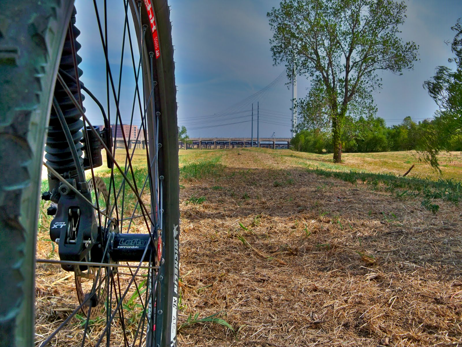
The new trail is still in a rough cut form at the present time. Below are some photos from over the Labor Day Weekend showing the basic outline of where the trail is headed. Still in a "rough draft" form but easily rideable on a mountain bike. I believe the goal is to make it accessible enough for a baby stroller. Some sections that is already possible.
 |
| Newly cut Trinity River Trail between Commerce Street Bridge and Union Pacific Trestle |
 |
| Trinity River Hike and Bike Trail under construction I-35 Bridge in distance looking west |
 |
| Newly marked Trinity River Connector Trail east of Trammell Crow Park looking east towards Calatrava Bridge. This would be about where Oak Lawn dead ends at the levee |
The levee system was built as a result of the tragic 1908 floods that engulfed much of Dallas. First planned by George Kessler in 1910, the plan was to straighten out the Trinity and limit the dangerous flooding in the future. Leslie Allen Stemmons was the visionary that saw it to completion in the early 1930s. The first levees of the 1930s were smaller and less robust than the ones we see today. Over the years many improvements have been made to keep up with the ever evolving requirements set forth by the Corps of Engineers.
 |
| Hawk near the Calatrava Bridge carrying what I believe to be possum parts as viewed from newly cut Trinity Trail |
 |
| Map showing portion of Old Trinity River channel alignment |
Many access points exist to get onto the road and trail. The formal trail that the City of Dallas has designated as the Trinity River Levee Trail runs from Trammel Crow Park on Sylvan Avenue to the Westmoreland Bridge upstream, across the old Westmoreland Bridge, then back to Sylvan Avenue. The city spent $300,000 to improve the levee road in this area to make it more of an all weather surface with gravel and brick dust. Best way to enjoy this stretch of trail is to travel clockwise since one has the best view of Downtown Dallas facing downstream from the south levee on the Oak Cliff side. This section is 6 miles in length total as a loop. It is also what one could call an "all weather surface". It drains well after a rain and can be walked on after weeks of wet weather. The majority of the levee roads throughout the levee system become a nasty gumbo like mess of blackland mud. Avoid.
 |
| Old Westmoreland Mockingbird Bridge over Trinity River. New Westmoreland Bridge built above old. |
Photo above shows the old Westmoreland Bridge that was left intact when the new bridge was built in the 1970s. It provides an excellent crossing point if you are coming down the levee from Bachman Lake or from the Mountain Creek area.
The bridge is unofficially called the Bonnie and Clyde Bridge. Given the name since the two notorious outlaws once called this part of Dallas home and used the bridge frequently since they lived on opposite sides of the river from one another. Earlier in the post is a map showing the old river alignment. If you click on it to see a larger version you can get an idea of the hellhole West Dallas once was. A lawless area of murderers, crooks and no goods. Open pit dumps, gravel pits and raw sewage. Much of that has changed and the only telltale that there was once a dump in the area is the small shards of glass that glitter on the lower levee road near the Westmoreland Bridge on the south side. In that era most of the trash was still organic in nature, lots of paper products, plant/animal parts with the exception being glass. That's what you see.
Note: Access to the Trinity River Levees is limited to non-motorized vehicles, pedestrians and horse traffic. Driving a personal vehicle, motorcycle or ATV on the levee road is forbidden and subject to a fine.
Outside of the designated 6 mile loop between Sylvan and Westmoreland, I would suggest using a bicycle of some kind for exploring the levees rather than on foot. With a lack of facilities such as water fountains or restrooms, seeing it on foot becomes rather difficult. A bicycle with wide tires such as a mountain bike, cyclocross bike or even a beach cruiser will work well. The road surface varies from hardpack dirt to loose sand and gravel depending on the section you are riding.
 |
| View of Oak Cliff as seen from the end of the levee trail where Mountain Creek crosses under I-30 at the Dallas/Grand Prairie city limits |
The photo above shows the end of the levee trail as it approaches I-30 at the Dallas/Grand Prairie border. In the distance you can see the abrupt rise of Oak Cliff and Chalk Hill in the background. A crude ATV trail exists under I-30 and towards Mountain Creek Lake. These trails are a rats nest of trails that only doubleback on themselves and not worth the effort of exploring. The trail surface above is typical of what one finds on the south levee. Pea to marble sized gravel, some places looser than others. As one travels further west on the levees the feel becomes more rural. You pass a couple rodeo rings, horse stables, chicken coops and the random piece of wandering livestock.
 |
| Trinity River Levee Trail and spring wildflowers from north levee |

Since the area inside the levees is a floodway, the prairie space in the floodplain can remain marshy and muddy for months after a rain. Take caution if you decide to venture off the establish roads as the underlying soil is often mud.
 |
| Wetland Pond near Downtown Dallas inside the levees |
The marshy wetland above runs from the Sylvan Avenue Bridge to the recently built Calatrava Bridge. Quite a bit of poison ivy in this section and quite a few snakes as well. Flash flooding in this area is not an issue. After a storm, much of the water must be physically pumped over the levees by a series of large pump stations strategically placed to de-water areas behind the levees.
 |
| Houston Street Viaduct and Cliff Towers as viewed from Trinity Levee Trail |
If you look carefully along the river channel you can find long abandoned bridges and roads that once served long forgotten areas like Eagle Ford and the old Singleton Road alignment.
One stop worth visiting is at the southeast corner of the Commerce Street Bridge. Here you get a decent view of Downtown Dallas and some basic background information on the Trinity River Project. Some of the information is outdated with projects that have been cancelled or are on hold.
 |
| Trinity River Overlook on southeast corner of Commerce Street Bridge |
 |
| Trinity River Project Overview Panels |
 |
| Levee Trail users in West Dallas |
Despite the lack of a great running surface and limited access, many West Dallas residents use the levee top trail between Sylvan and Westmoreland in the evenings. Access to a quality facility such as a sidewalk or path in their neighborhood simply does not exist. While the planned Bernal Trail will help add to the infrastructure, long neglected areas like West Dallas simply lack the right kind of areas where people can stretch their legs. In addition, there is not any access to the levees via footbridge catwalk. The residents who use the levee trail in this area must navigate through the often swampy wet areas on the back side of the levees to reach the trail. It's cool to see people making the best of what they have and taking the initiative to get off the couch in the evenings.
Video clip of the moon rising behind the Margaret Hunt Hill Bridge in June of 2011. I had a general idea of where the moon would rise that evening but due to the haze on the horizon and some high clouds to the east, that trip was a bust. So, I just setup a spare camera on a tripod down near the bank of the river and let it run for half an hour unsupervised. There are so few people that ever get down in the floodplain that I was probably a mile or more away from the camera as it filmed. I was not concerned that anyone would come by and take it.
Wow! Amazing amount of information here. I recently converted an old warehouse into a loft in the Trinity Design District. I just started biking along the trails in the mornings. It's an amazing place! I absolutely adore the early morning solitude along the river.
ReplyDelete